Bats.
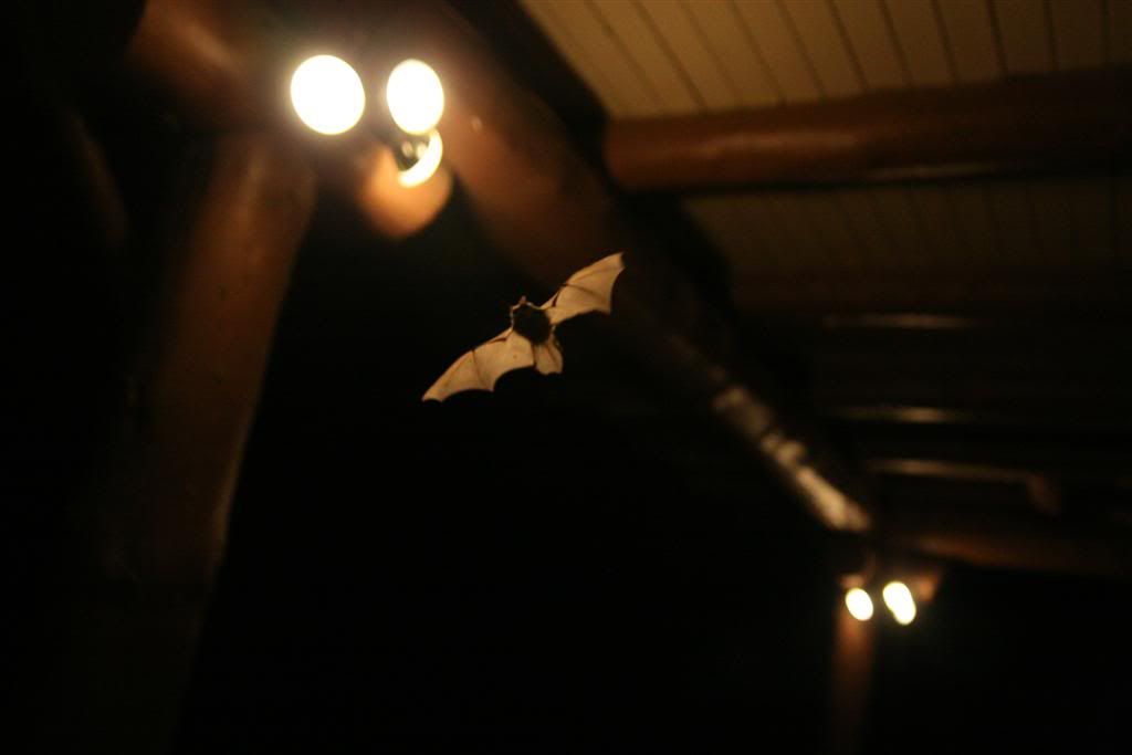
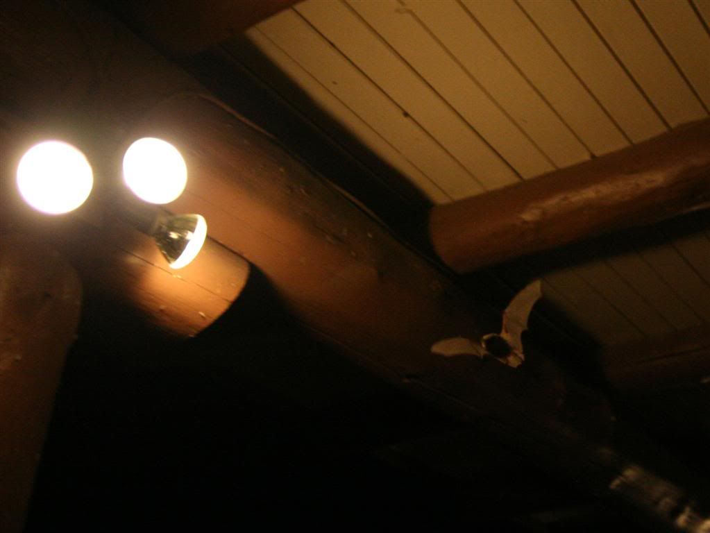
They move with an astounding nimbleness, changing directions faster then your eyes can keep up and doing it almost silently. Even though we regard birds as very quiet animals, once you hear bats fly, you realize just how noisy birds are. We're just accustomed to the rustling of feathers, so when bats are pulling of these amazing aerobatics to catch the bugs clustered around the lights, it's so strange to watch them doing with barely a whisper. It's like someone pushed the mute button on the world.
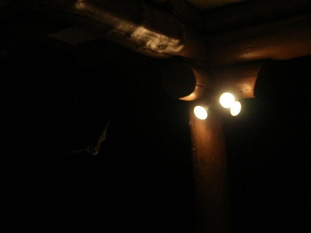
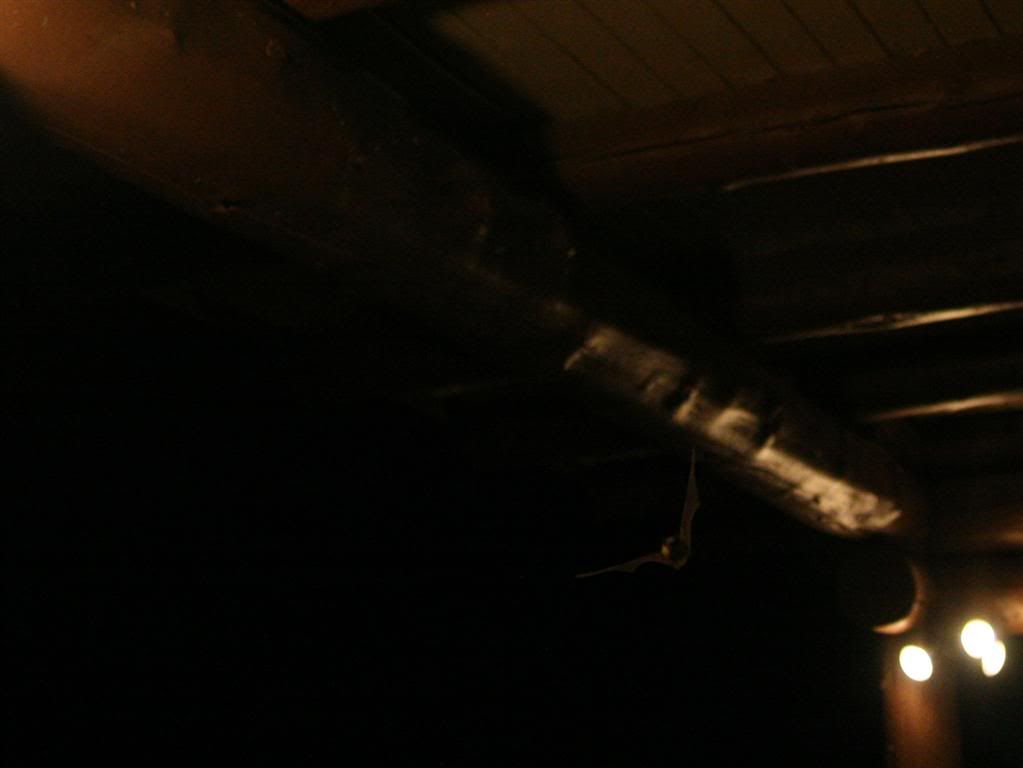
These guys are AMAZINGLY hard to photograph. They're too small and move FAR too quickly to have a chance in hell of the camera's auto-focus system working. The only way I found to get any semi-discernible pictures of them (that are still really, really blurry) was to manually set my 20mm lens wide open with a focus distance of ~3 feet, and then chasing the bats with my camera on rapid-fire whenever they got close enough. I took ~1200 pictures to get maybe 5-6 that are at least viewable zoomed all the way out (But none of them look good at native resolution)

If I hadn't seen them in person, I would never have believed that something could change directions, accelerate and stop so instantaneously in mid-air. Their agility when darting around to catch bugs was fast on a scale the human eye can hardly comprehend.

Eventually I got tired/frustrated of chasing these little guys around, and left them to their own devices to continue nomming the delicious bugs. I got back on my bike, and rode it back up all of the pedestrian footpaths and out of the park.
I had camped that night in the small area of national forest that surrounds the Grand Canyon, which was full of previously-used campsites.
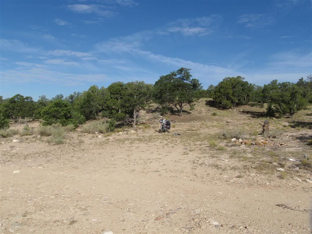
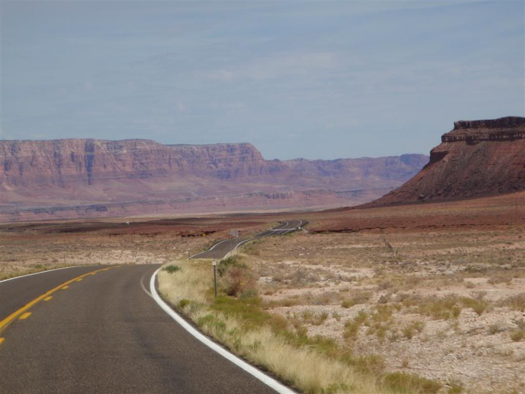
It was August 29th, and I had just three days to make up up to Reno for the start of Burning Man. I still had some sights I wanted to see on the way there, but I needed to get some miles done. Ironically, the very thing I was so happy to see was proving to be a major obstacle to my intended direction of travel. The fastest way to go northwest was to head east for a couple hundred miles, detouring over Marble Canyon on Rt 89.
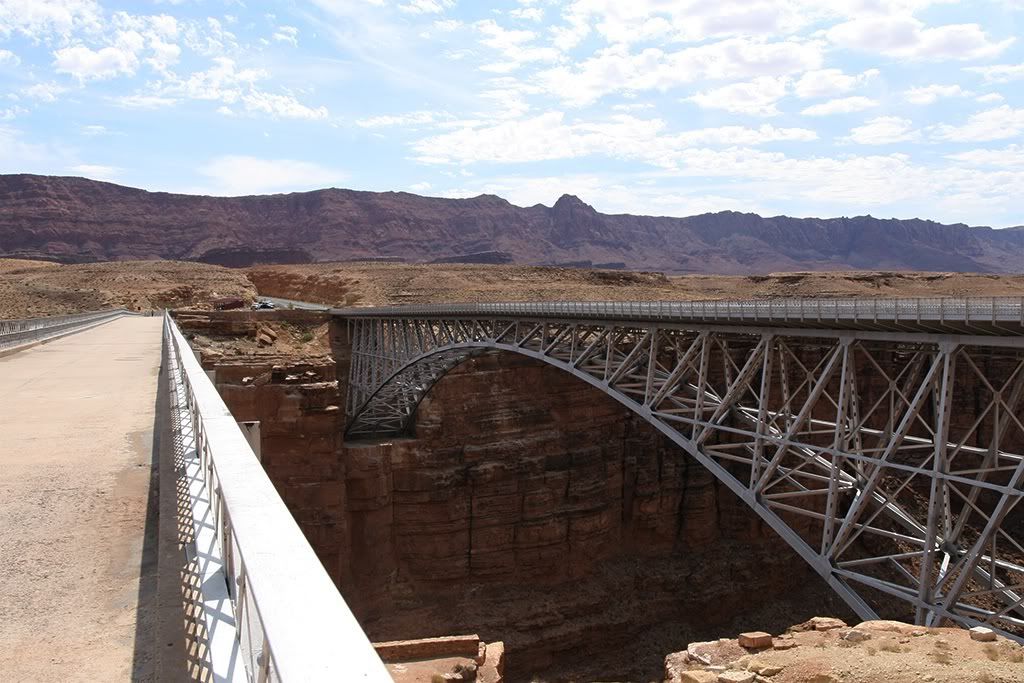
The first bridge was built sometime in the 50s, but by the 70s was no longer well suited to modern road traffic. The new bridge was built next to it, and the old bridge left up as a tourist attraction.
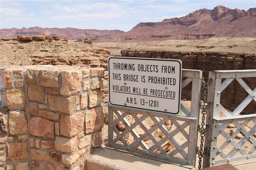
Awwww, the whole world is designed to prevent me from having fun.
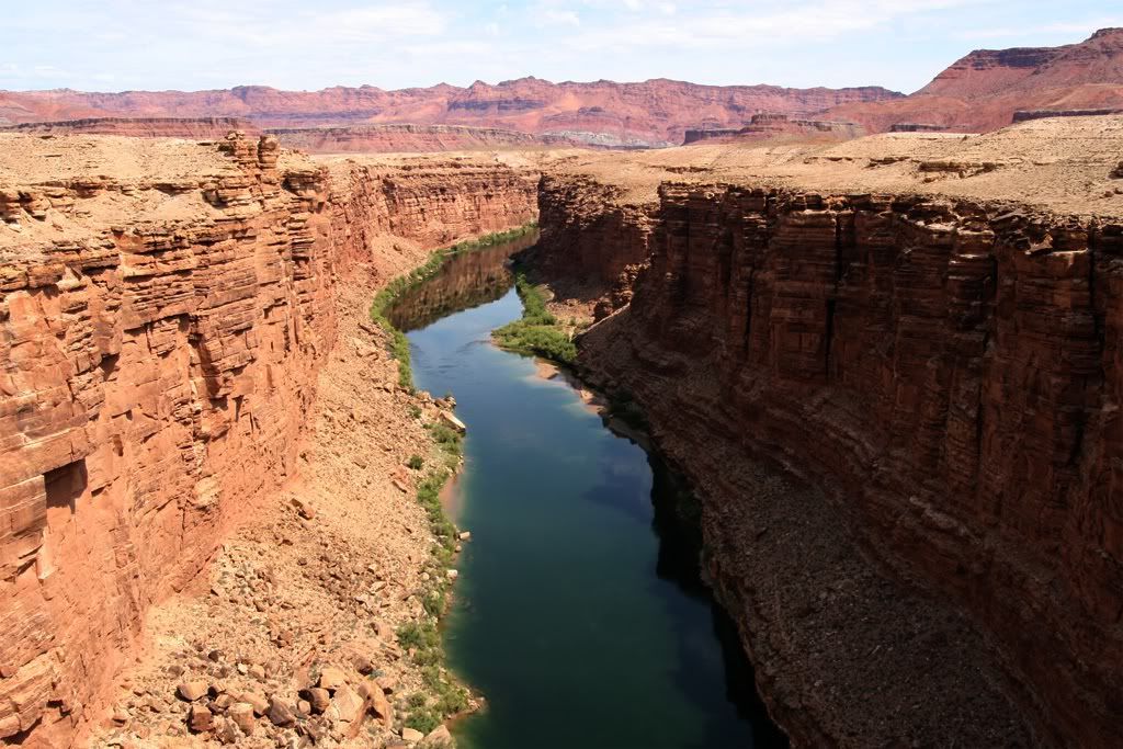
A view down the canyon from the middle of the bridge.
Heading west, the whole area was sandstone, and everywhere you looked there were many smaller canyons and cliffs carved out of the earth by eons of rain and rivers.
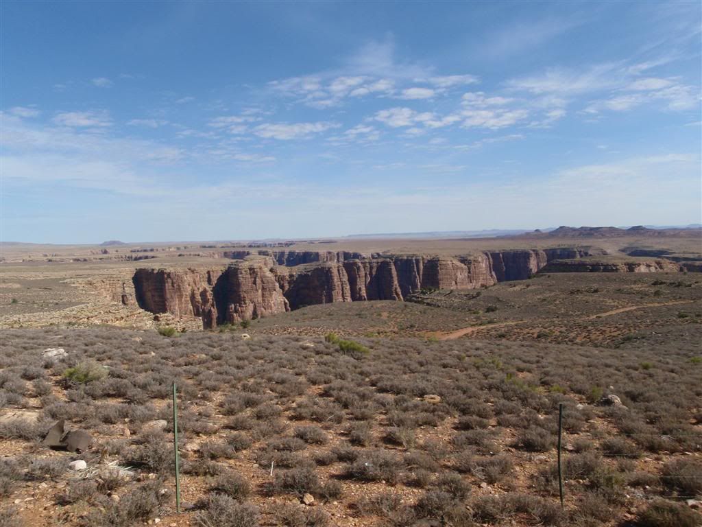
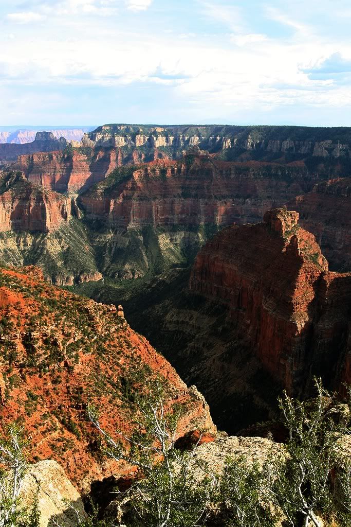
The previous day (and night) I'd been at the South Rim of the Canyon, and now I had an opportunity to check out the view from the taller north rim. I really debated this; I had a lot of ground to cover in the next few days. I soon came to my senses though, and realized that I might not be back here for a few years, or even longer. I made in to the junction at Jacob's Lake sometime mid-day, and made the 60 mile detour down Rt 67, back into the National Park.
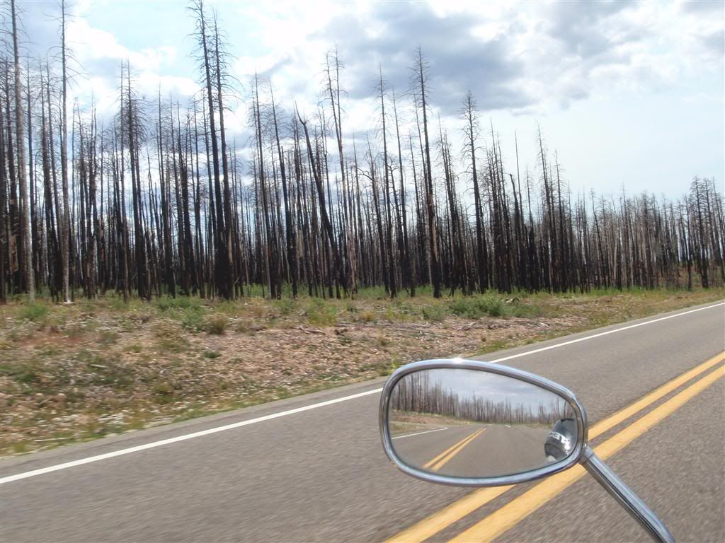
It was a very beautiful drive through the National Forest and back into the park, although forest fires had recently ravaged the area.
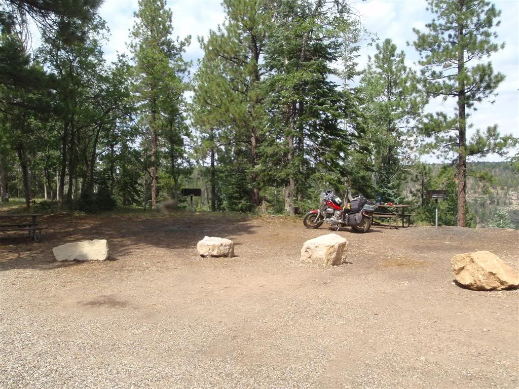
Stopping for lunch at one of the many picnic areas.
I didn't spend a whole lot of time at the north rim. I was pretty tired from a lack of sleep last night, and the idea of some of the half-mile hikes to the more impressive viewpoints wasn't appealing at the time. I made it to some of the more accessible places, which were of course crowded with people toting even more high-dollar camera gear then I was.
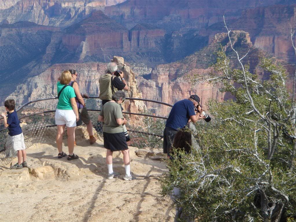
Eventually, I elbowed my way into them for a couple shots of my own.
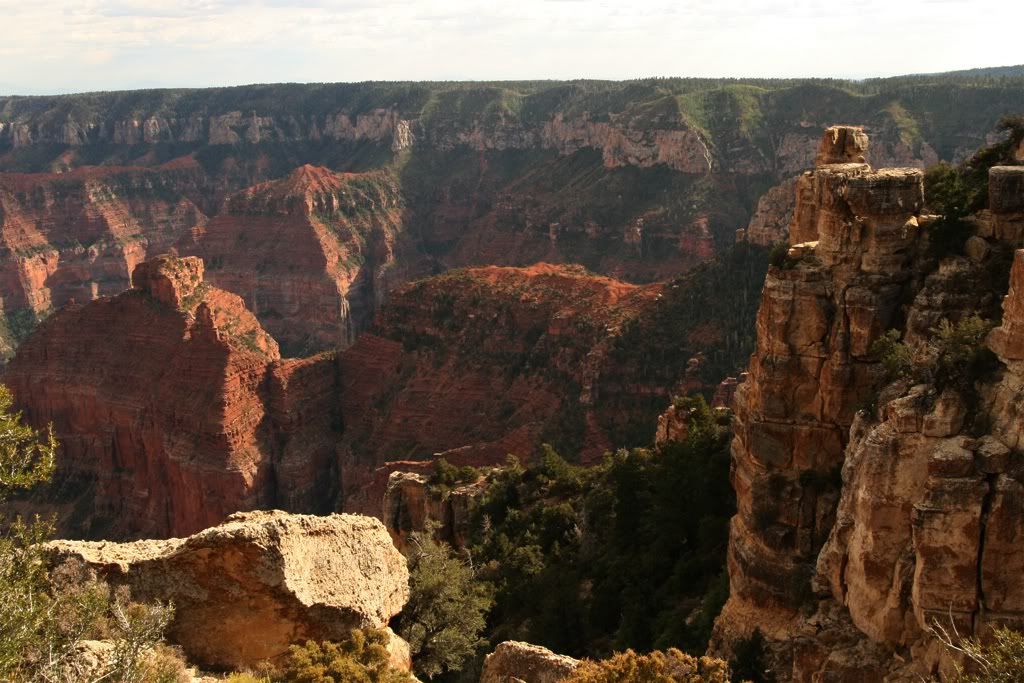
(You know, my girlfriend advised me to just leave this photo alone and not mess with the contrast, but I thought it looked neat all cranked. As I look at it in context with the others though, I think she was right. Ah well)
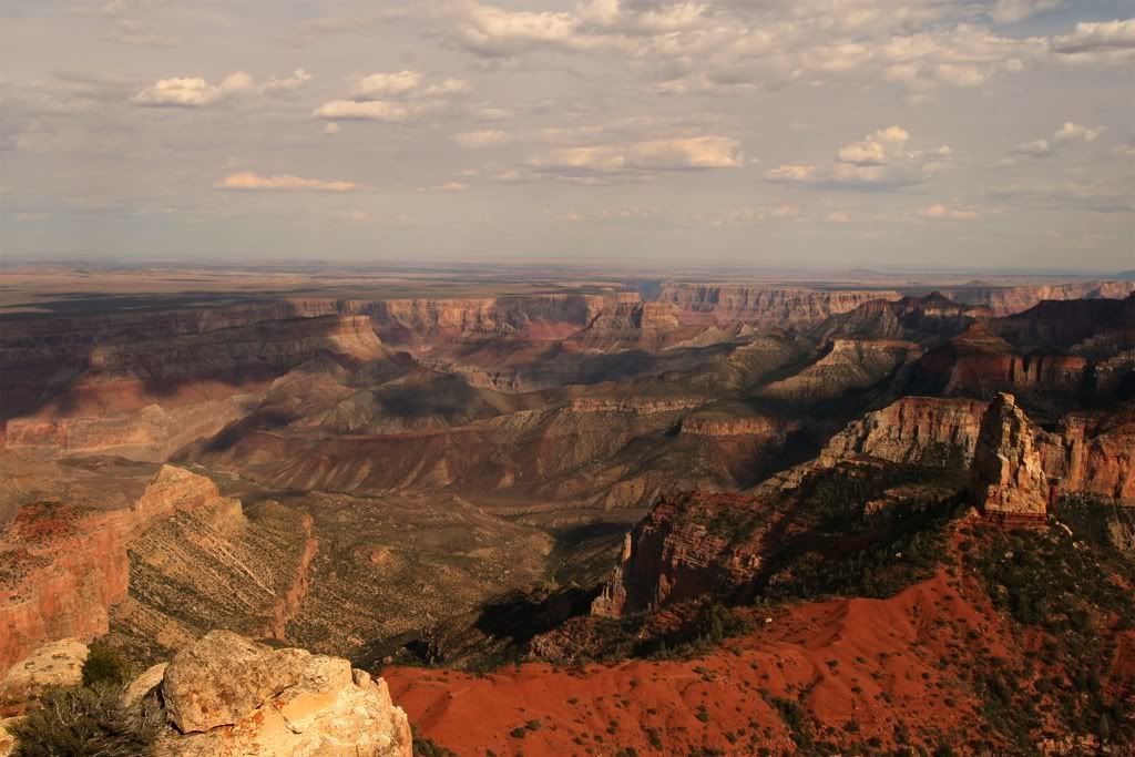
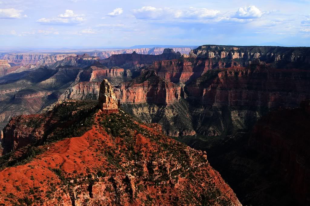
Again, nothing I can say about the place that can do it justice.
I headed back north on Rt 67, then west on Rt 89.
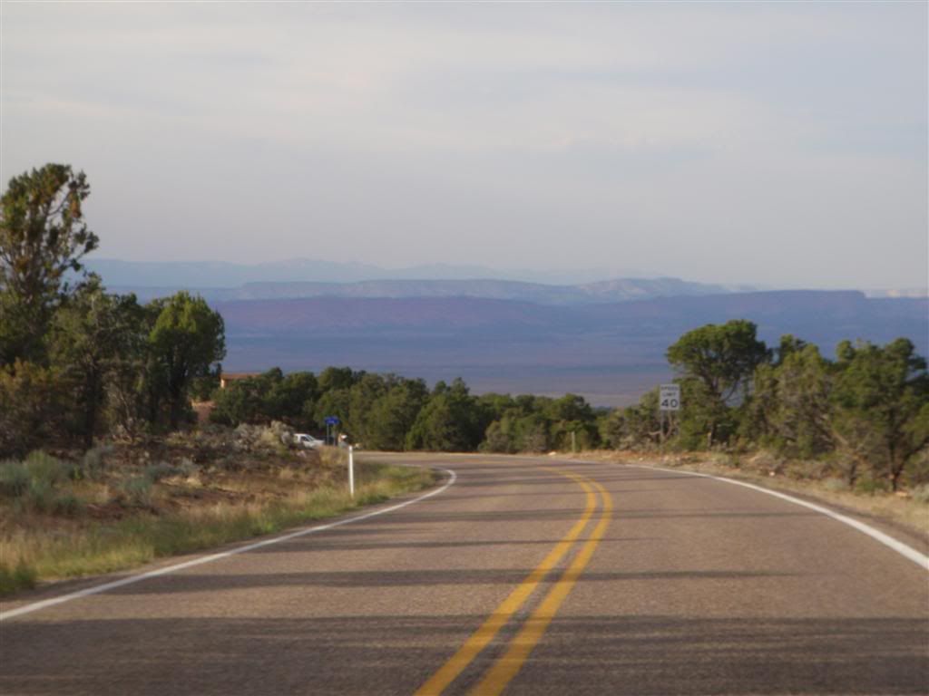
I passed into Utah with 45 minutes of daylight left, and after a couple of mis-adventures trying to camp on some utility turnouts that had a soil consistency of baby powder, I headed down a seemingly abandoned road for a couple miles, trying to get as far from the main road as I could.
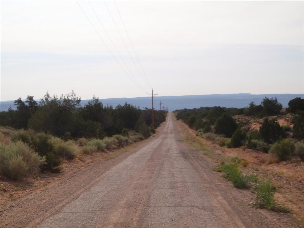
Eventually I came across a clearing with a recently-used fire pit, and camped for the night under the sprawling branches of a very large tree.
8-30-09
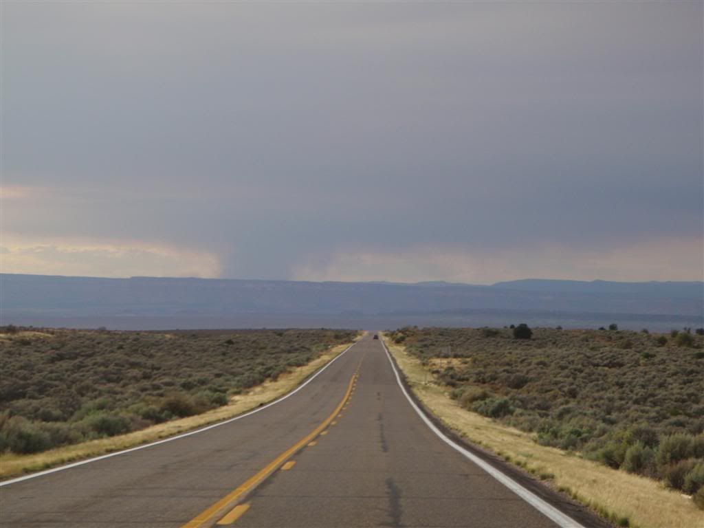
I continued on through Utah, entering Zion early the next day.

I really should have spent more time in Zion, but I wasn't quite in a scenery mood. I was craving twisty roads, leaning the bike over as much as I could, and generally riding like a jackass, but Zion was WAY too crowded to allow anything like that.

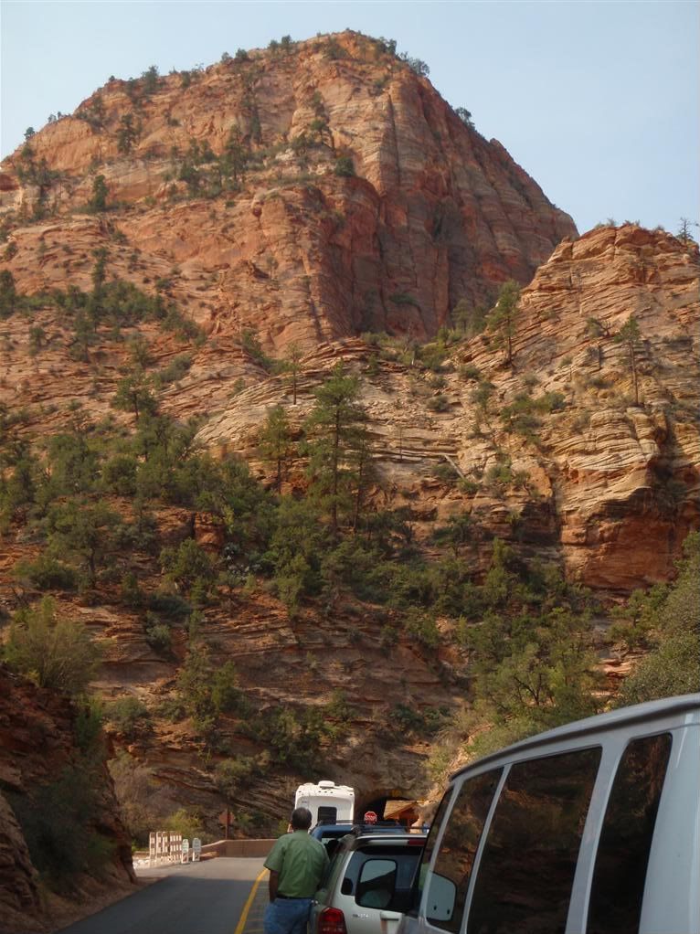
The park itself also isn't that large, and there's only one road that goes through it. Compared to the length of places like Glacier, or Death Valley, I was through it before I blinked. The traffic was so bad that I had no interest in going back for another pass, and I just pushed on west. I still needed to make it up to Reno in just two more days.
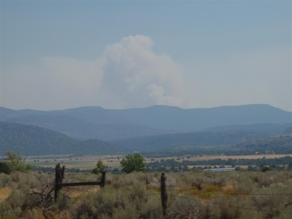
The occasional forest fire appeared in the distance, but I stayed out of the smoke all day.
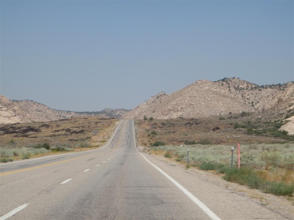
I kept going due east as much as I could avoiding main roads whenever possible, until just before I got to the Nevada border, the pavement ran out.
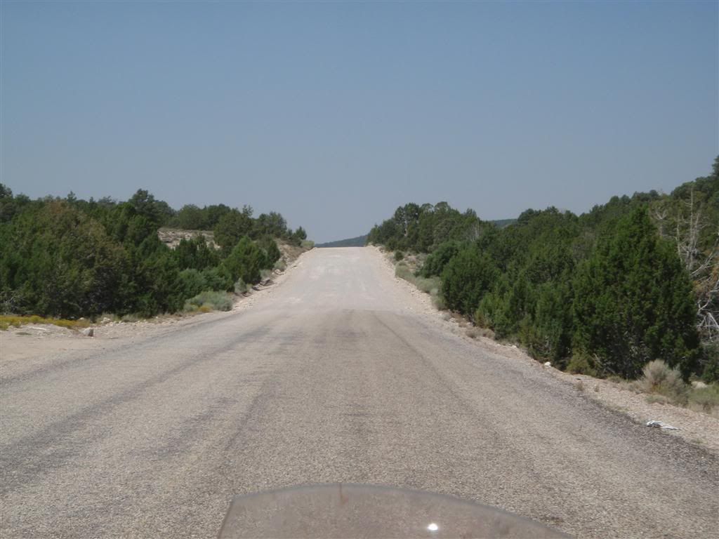
Now I need to confess something that I'm not very proud of here: When I saw the gravel, I stopped, took that photo . . . and turned around.
I had been through the Northwest Territories, up to Prudhoe Bay, along the Lolo Motorway in Idaho, and I instinctively turned around here because the road changed to GRAVEL!!?!?!? What was wrong with me? I had lost my touch; I'd spent the last few weeks on nice, paved surfaces, and evidently that time had softened me up. Cursing myself for being such a sissy, I made another u-turn and rode on into the gravel.
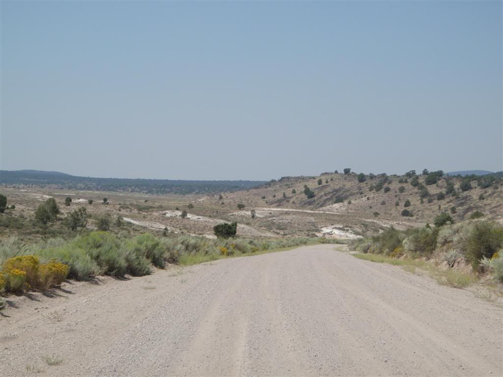
Now this was more like it. A poorly maintained gravel road, just enough terrain to be interesting, and no one else around for miles in any direction. I felt much better.
Suckers who stay on paved roads . . .
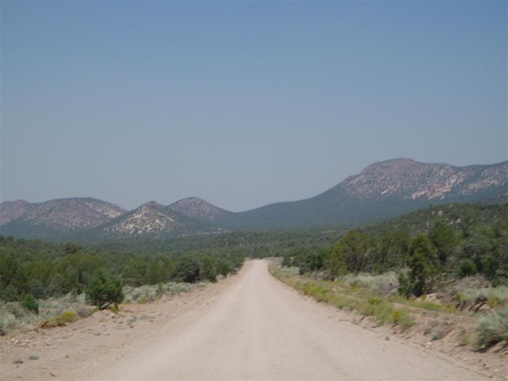
But my off-highway wanderings didn't last too long. After only an hour or two, I found myself back on tarmac.
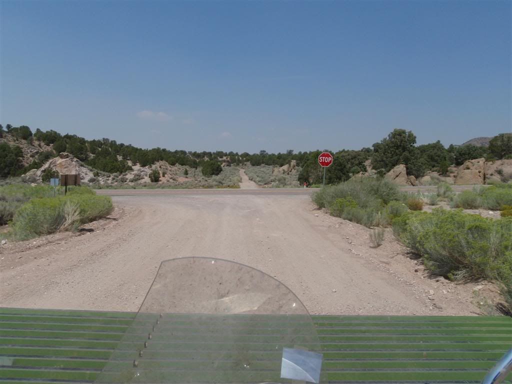
Ah well. I had a lot of ground to cover, and the gravel was pretty slow going.
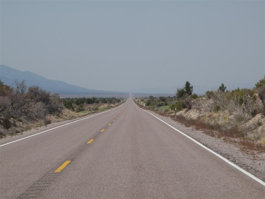
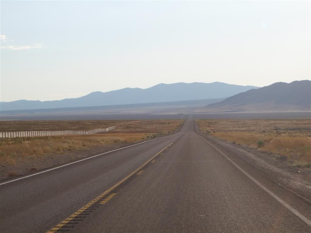
I crossed into Nevada and headed north on the arrow-straight Rt 93, with a glorious 30mph wind square at my back.
The ONLY people who will appreciate this picture are those who grew up with me during the 90s in my tiny little corner of the northern Chicago suburbs. Everyone else can ignore this picture:

I made it to Ely (I think) sometime mid-afternoon, and was STARVING. I don't think I'd had much to eat the day before, and I hadn't eaten anything that morning. I was completely starved, and this being a crappy little town that had nothing to offer but crappy little casinos (that often have really cheap buffets), I figured I'd gorge myself silly. I asked in at a gas station for where to go for food, and was directed in the vicinity of this one hotel/casino thing along Rt 50.
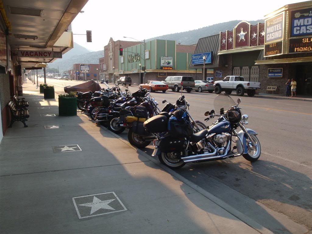
It seem like EVERY other motorcycle in the whole town was some big cruiser thing with and extra 100lbs of chrome and ear-splittingly loud pipes. Almost no one was wearing a helmet.
Anyway, the hotel didn't have a buffet, but it did have a sit-down restraunt that was okay. Nothing special, just generic food. And at this point I was so hungry that I didn't really taste it anyway, just shoveled it down as fast as I could.
I started off with a ceaser salad before attacking my main course of fried chicken. Om nom nom!
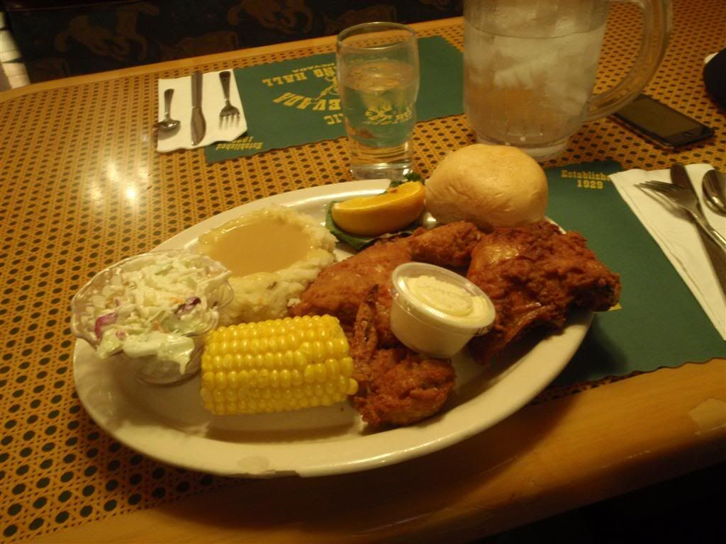
I ate everything on the plate . . . and was still hungry, so I asked for some cake. The waitress looked at me funny when I asked for the "Mile High Chocolate Cake", with ice cream.

Four layers, damn. Anyway, as I was finishing the cake, and the ice cream, the little old grandmotherly-type waitress brought me my check with a chuckle.
"You know," she stared, "we just added it up in the kitchen, and by our best guesses you just ate almost 4,500 calories in one sitting. That cake ALONE, without the ice cream, is 1,760 calories"
Oh, I do enjoy being young, and male, with a freaky metabolism. I spent more then I wanted to, but by my logic, that should last me for a couple of days at least! (It didn't, I was hungry again by the next morning)
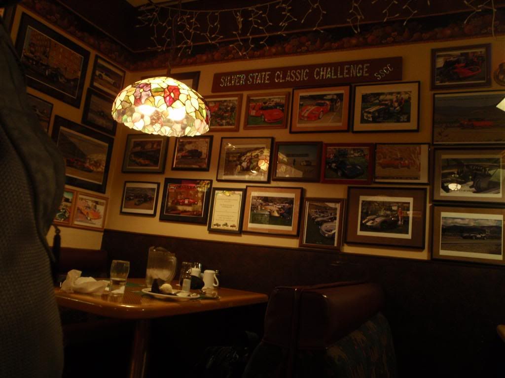
The restraunt had all sorts of pictures of race cars and sports cars all over the walls. I guess Rt 50 is closed every year for an endurance race that's open to the public, there was everything from old Jags and Aston Martians to Ferrari Enzos that looked to have participated in the races.
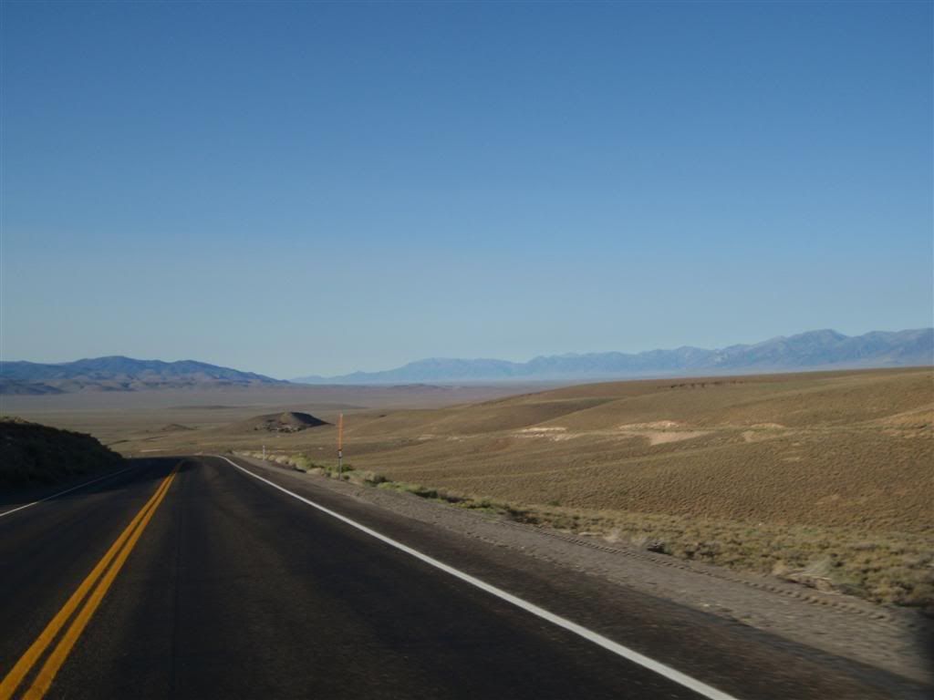
Rt 50 holds the unofficial designation of "The loneliest road in America", which I suppose only holds true if you don't count Alaska as part of America. There was tons of kitchy touristy crap for sale EVERYWHERE with "I survived Rt 50!" and similar printed on it. Dammit, I survivded the Dalton and I didn't get a shirt, and it was much more difficult then Rt 50.
I kept going west as long as I could, watching the sun get lower and lower. Stealth camping here was NOT going to be easy, this was barren and rocky land that offered little in the way of concealment and cover. I had my eyes searching for the better part of two hours, but didn't have any luck finding anything. Even as the sun dipped below the horizon and everything plunged into darkness, I wasn't seeing anything at all and was considering just camping directly on the side of the road.
But then I had yet another of those perfectly timed chance encounters that seem to only happen when you're on a motorcycle.
Just as the last rays of light were vanishing from the sky and I was REALLY worried about finding someplace for the night, I spotted a gravel road going off the highway, and one of those park-service signs indicating camping. Upon investigation, this turned out to be the best kind of camp site; the free kind.
I can't describe how happy I was to find this place, at the exact right time. There were pit toilets, enough trees to give shade the next day, and there was only one other site occupied in the whole place. I pitched my tent under a sprawling juniper tree and went to sleep.
The next day allowed me a better look at my surroundings.

I was in a little BLM reservation area called Hickison Petroglyphs. Apparently, a short half-mile hike from the camp site are some rock walls that have native American drawings on them that are thousands of years old, but I wasn't in the mood to be touristy. I didn't have much left in the way of food, so I had to forgo breakfast, and just got back on the road.
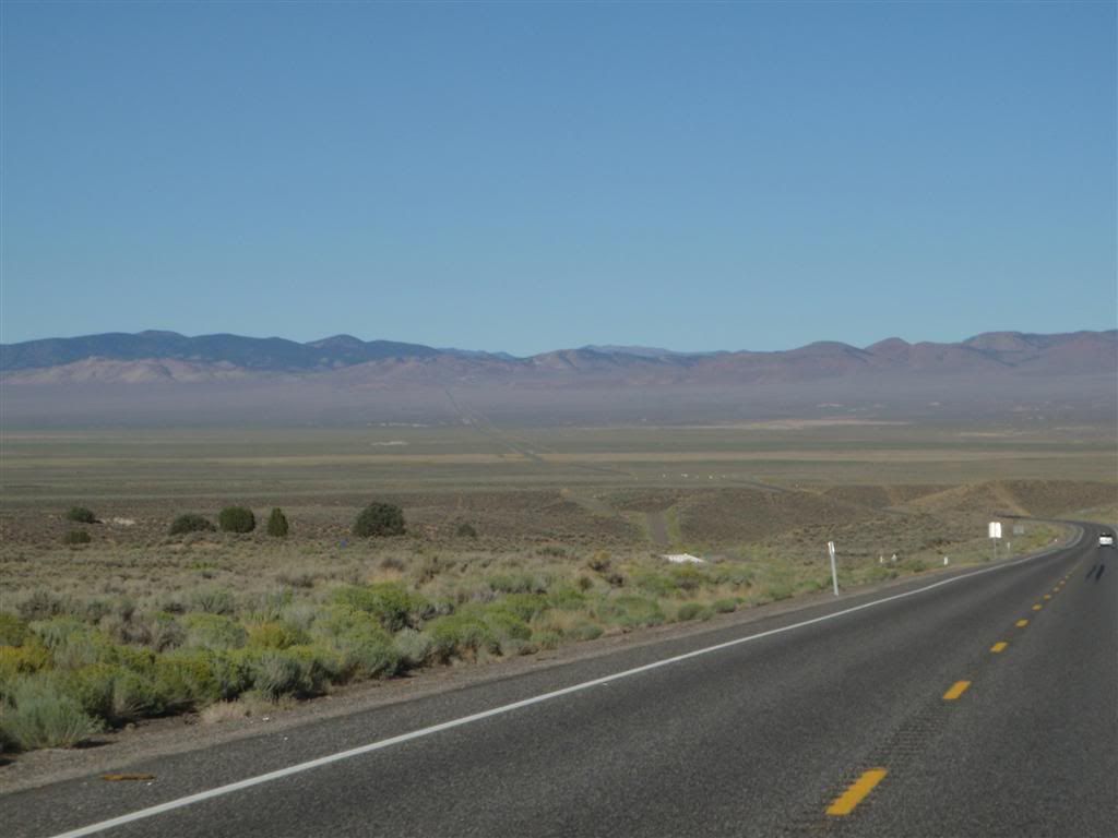
Going across Rt 50 means a seeming endless procession of alternating valleys and highlands
Occasionally you'll see ruins off the side of the road, usually with some sort of an informational plaque/marker.

I still have no idea what to make of this.
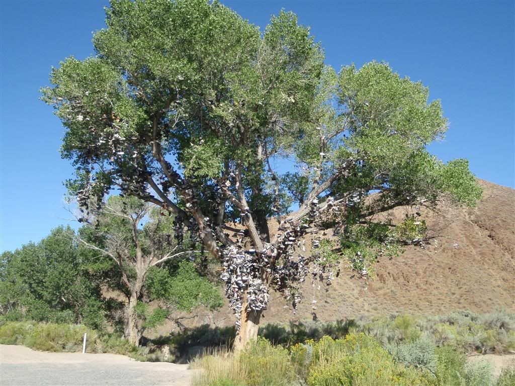
There seemed to be an equal number of shoes scattered on the ground below.
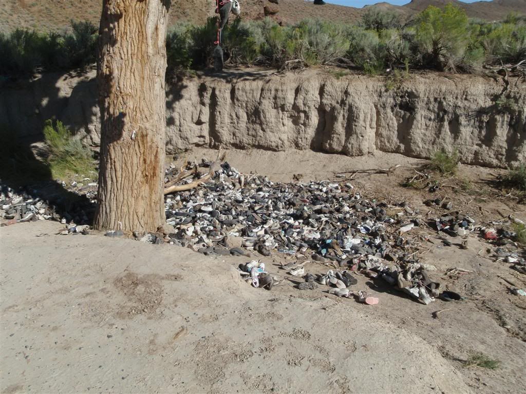
Squinting and looking up, many of the shoes had things written on them.
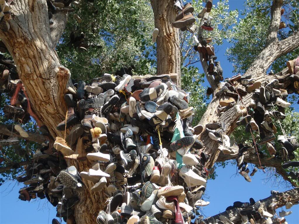
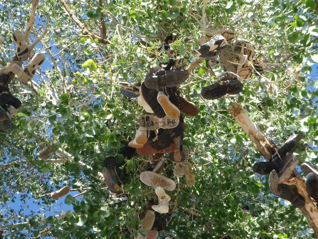
It wasn't just shoes up there. It was footware of every conceivable kind, up to and including roller blades and ice skates.
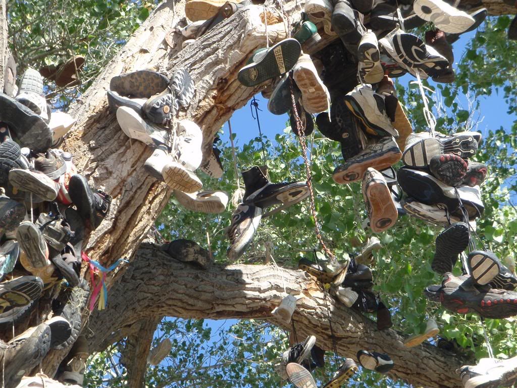
It is a mystery . . .
The farther west I got, the drier, and hotter, the area got.

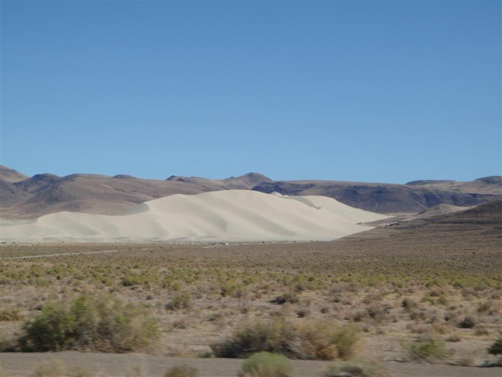
Not sure why all that sand just collected in one spot. Strange wind patterns caused by the surrounding hills, maybe?
Somewhere outside of Reno, I stopped to fill up and enjoy a breakfast of gas-station burritos, onion rings, and gatorade.

I made some phone calls to touch base with my gear-hauler for Burning Man, and headed on into Reno to prepare for what was sure to be a very, very strange week.
No comments:
Post a Comment