6-25-09
At this time, I was still in the northern part of the Saskatchewan province, on a little gravel road north of Price Albert National Park. It was very remote; I passed maybe 15-20 vehicles during the day, and most of those were trucks of some kind. The hills were gently rolling and the forests were thick, without much in the way of landmarks to tell how far along I was.
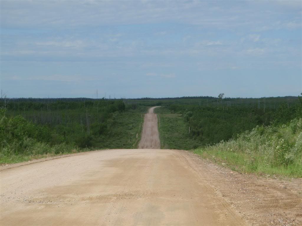
From what I'm told that the southern part of this province is like, at least I was seeing something sort-of interesting by staying north. I mean, flat land with trees is better then flat land with farms. Barely, but it is. And it's easier to camp.

The road was a mostly-hard packed clay, with gravel here and there. It had some washboarding, but usually it could be avoided and wasn't too bad. Some spots were a little slick, but I didn't have many problems with it.
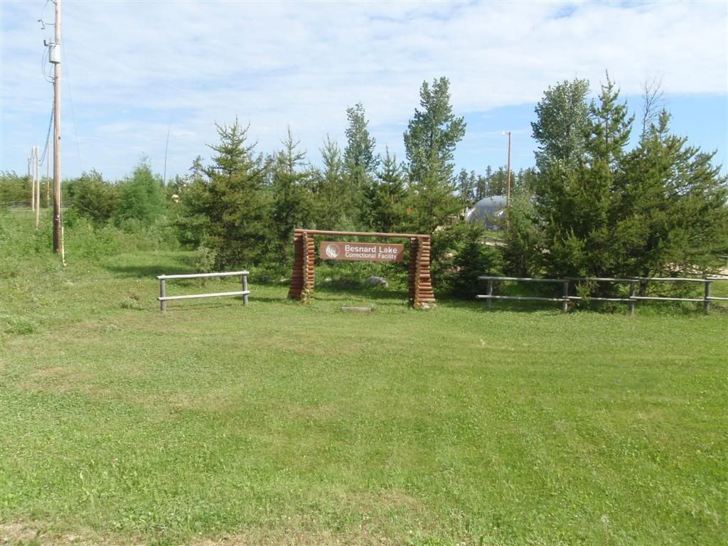
Uh, what? If you can't make it out, the sign says "Besnard Lake Correctional Facility". A jail, here? There didn't seem to be much in the way of guard towers or fences or anything. Butt he more I thought about it, the more sense it made to have a jail here, at least a hundred miles away from anything, with pretty harsh wilderness in all directions. There's not much motivation to try and escape, is there?
After riding for a few hours, averaging around 35mph, the road turned paved again, and I got to the little town of Beauvual.
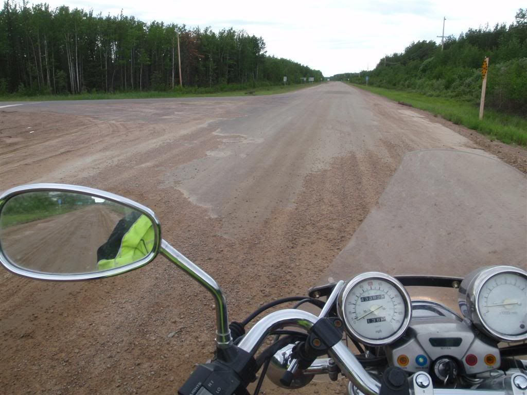
I stopped for gas, and tempted by some kids running around with ice cream cones, I had to treat myself to one as well.

Om nom nom nom. Dammit, now I'm hungry.
Anyway, the road turned and headed south, staying pretty dull and un-interesting.
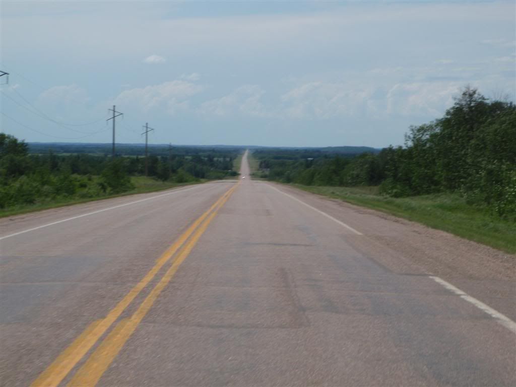
Okay, I should make that "Dull and horrible". Just endless monotany, it made me miss the sometimes-crappy washboarded gravel that I'd left behind. At least that gave you a reason to pay attention. I think this was the only interesting bit of road I passed for the rest of the day.
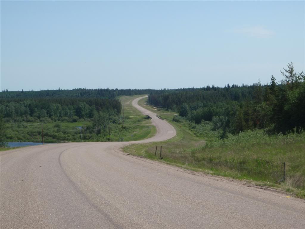
Other then that little s-swerve to cross a river, it was hours and hours of this.
Srsly.
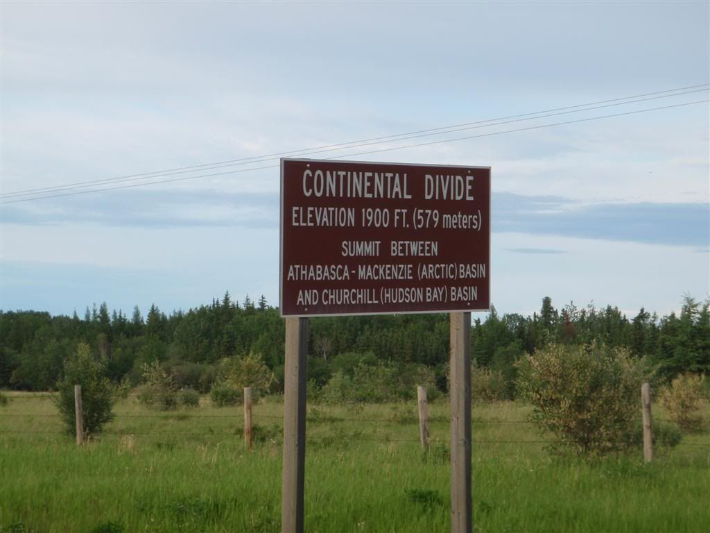
This is a lie. There's not enough elevation change around here to make water flow in any direction at all.
I stopped at an intersection at one point to nom some granola bars, and plot my next move. It didn't look like there was any hope of decent riding for a thousand miles in any direction, so my only real option was to just burn miles and try and get through this fast. I pushed west into Alberta, and got to Lac La Biche just around dinnertime. Food was, again, noodles from a packet on a camp stove.
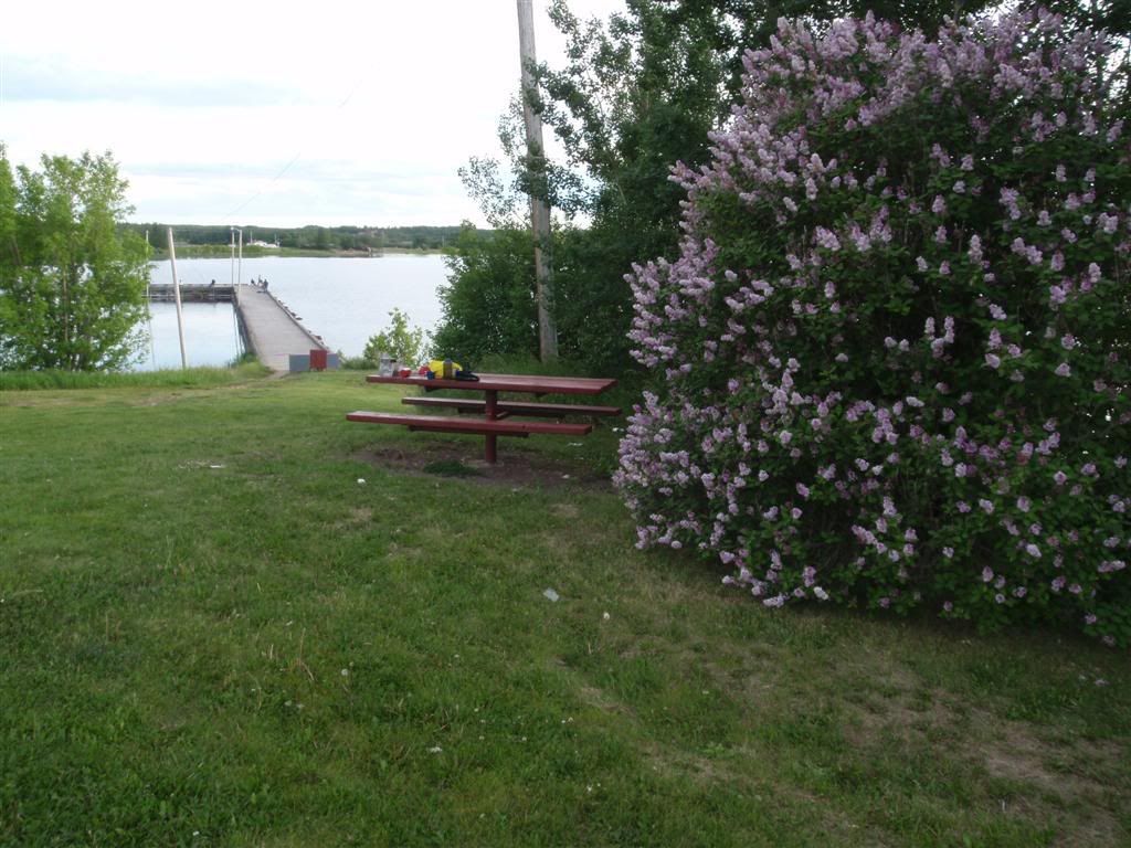
It was pretty, though, and right next to a flowering lilac bush made everything smell nice. After washing the pots in the lake, I rode out of town somewhere to camp.
6-26-09
The roads this day were still so flat and boring that I never took any pictures of them. I stopped in Athabasca, AB to find the library and use the internet, spending almost 5 hours putting together a long post about the last couple weeks. And just as I was almost done? Firefox ate it. BLARG. This put me in a cranky mood, and I didn't take any pictures all day (Save for trying to sneak a picture of this hot girl at the library).
The library closed, and I kept going northwest, camping for the night about 40 miles south of Slave Lake.
6-27-09
The previous day had ended cool and cloudy, but this day came about warm and sunny.
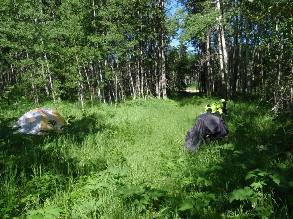
(that's the suit laying on the bike, airing out)
I rode into the town of Slave Lake, making a beeline for the library, hoping to re-write the post that firefox ate the previous day.
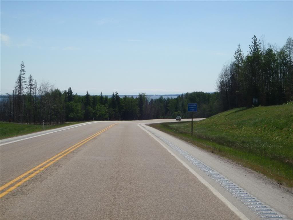
I wasn't the only person wanting in, it turned out. By the time the library actually opened, there were almost 15 people waiting to get in, mostly young people seeking internet access. I was one of the few who brought their own computer, and quickly camped out in one of the nice over-stuffed chairs. I have to say as small-town library's went, this place was pretty damn nice. Small, but brightly lit and decorated, with nice furniture and modern computers.
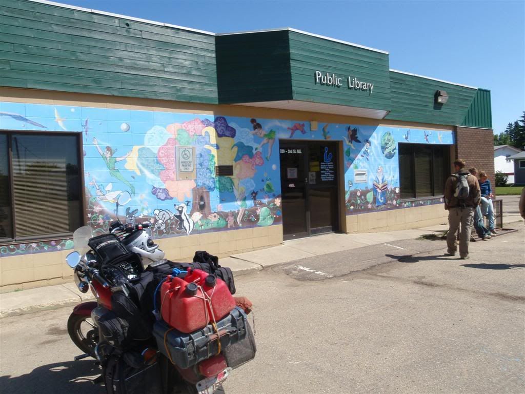
After successfully writing a long update (look way back in my blog archives to "Lets try this again", if you're curious to see what I was writing), I headed out of town, choosing to take the much more remote looking Rt 88 north, rather then stay on Rt 2 and go west.
This took me through a provincial park, which *gasp* HAD HILLS. I'd been staring at endlessly flat monotony for the better part of three or four days by now, so even some minor elevation changes exited me.
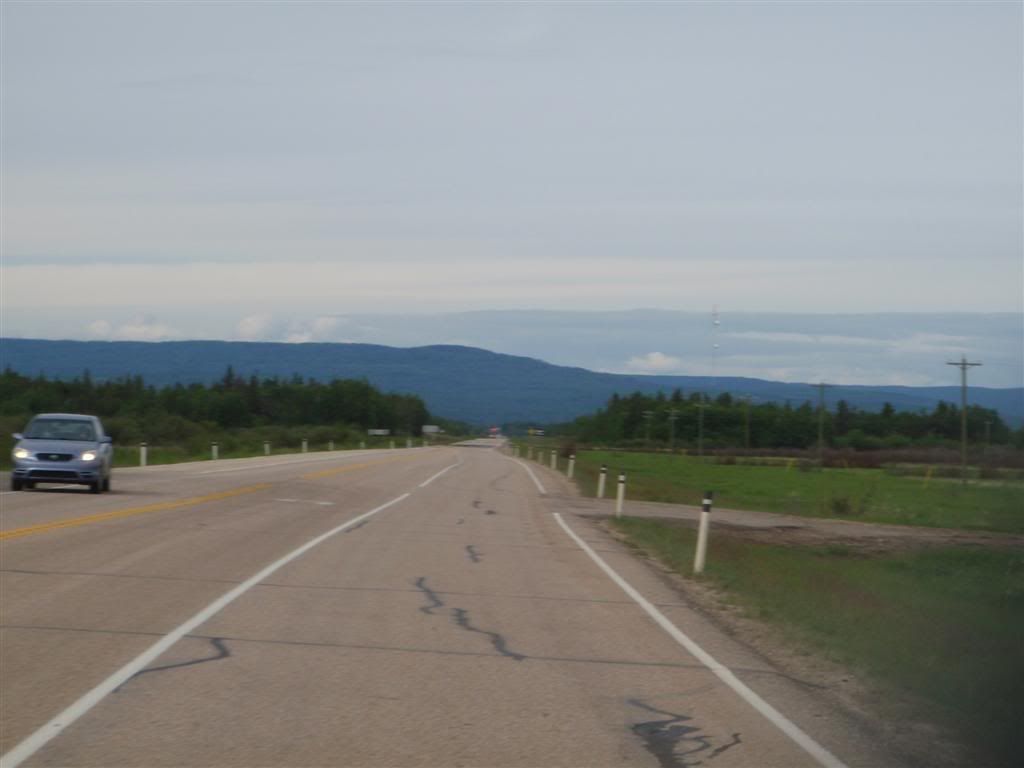
I made it north to the "town" of Red Earth Creek just around dinner time. I was very hungry, and well before I'd gotten to town, I vowed that I was paying for a hot meal. Red Earth Creek isn't really a town, not even a work camp. It's basically a couple gas stations and a general store and a hotel made of prefabbed building panels. My impression is that it's a base of operations and transport for a lot of the local oil and mining industries.
After refueling, I asked the gas station people where I could get food, and they suggested the hotel across the street. It's dining room was open to the public for $18. Eek! Expensive, yes. But hey, buffet. And I was hungry, so whatever.
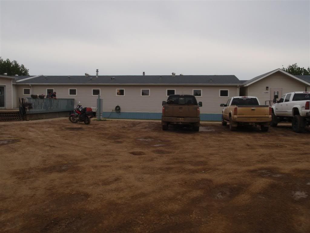
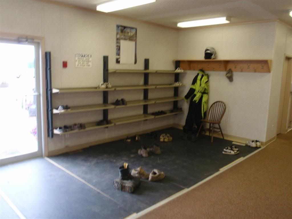
Nice and muddy. Everything in this town was covered in mud and dirt, and the people in this hotel were no exception. So much so that the hotel had a mandatory shoes-off policy.
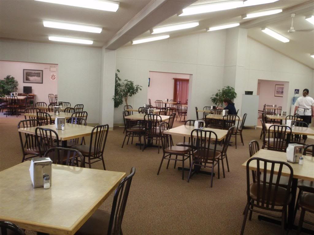
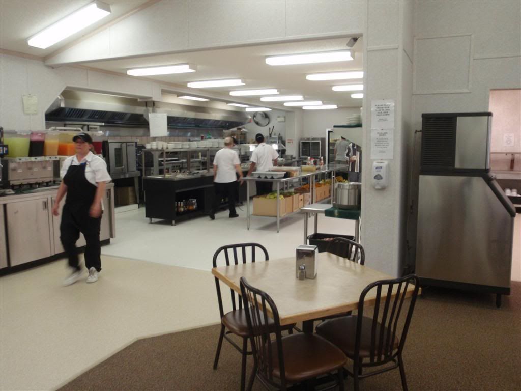
I paid for the buffet, and headed over to check it out. It was a nice enough place, simple but clean, and the buffet looked good.
The food was . . . I thought I'd taken a picture of it, but I guess not. It was REALLY disappointing. The pork chops were dry and chewy, spaghetti was soggy and cold, the sauce tasted like nothing at all and the mashed potatoes were OBVIOUSLY instant. Even the salad was sad, wilted and tasteless.
I'd met these guys on the way in, and sat with them during dinner. We bullshitted for a while; they work for a trucking company up here, hauling things around for the oil companies, and had some funny stories to tell. I asked them about road conditions going north; I had planned on taking Rt 88 all the way north to Fort Vermillion, and then cutting over to Rt 35. The road had been paved so far, but the map indicated it was gravel going north from where I was. Their response was unanimous and instant; DO NOT GO ON THAT ROAD. It was a rough, sloppy mess they said; deep, wet mud and washboarding that would beat their trucks to hell. They said that for a LOT of it, 25mph was the maximum they did in their equipment, and even that was probably too fast.
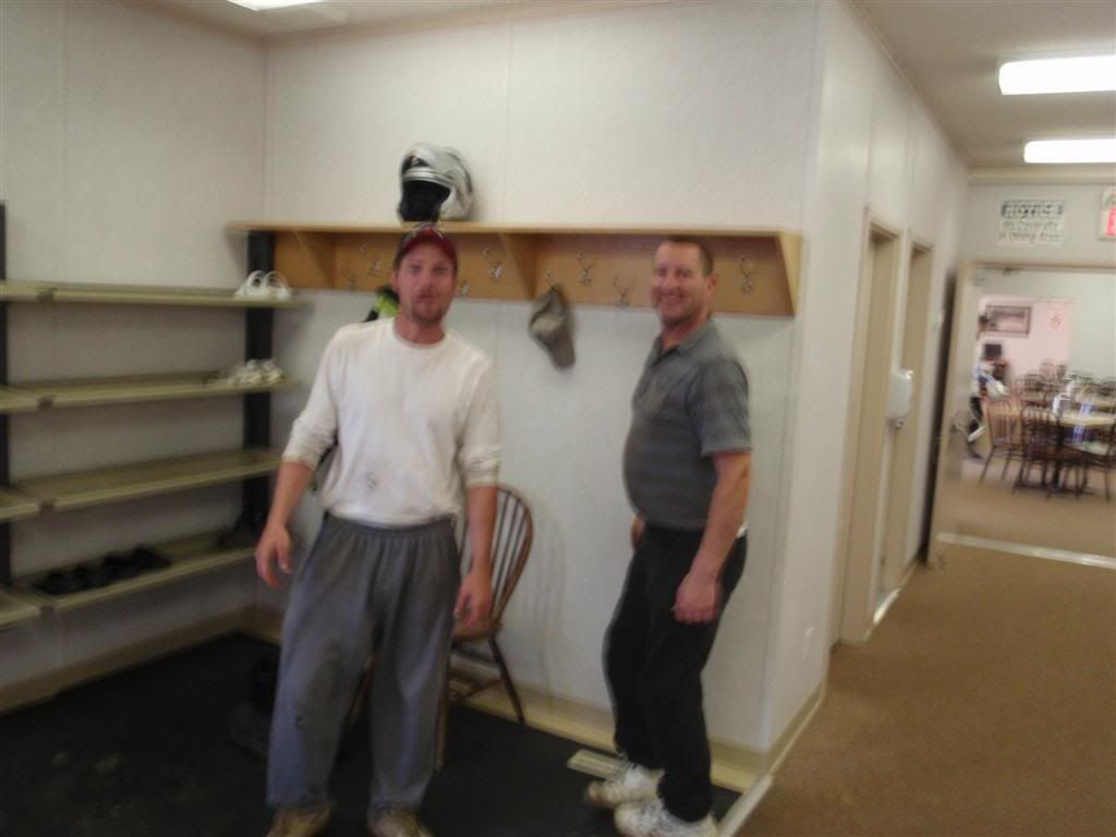
Their advice, which I heeded, was to head due east on 967, and then take Rt 35 north to the Northwest Territories, if that was the direction I was heading. I thanked them profusely for the warning, and followed their directions to the road they'd suggested I take. 967 wasn't on my GPS, and it's not on google maps either (as of this writing). The only map I had that showed it was the local tourist map that I'd gotten in the town of Slave Lake. True to the map, though, the road was there, and decently paved as well.
On the way, I took advantage of one of those self-weigh stations for trucks to see how heavy I was.
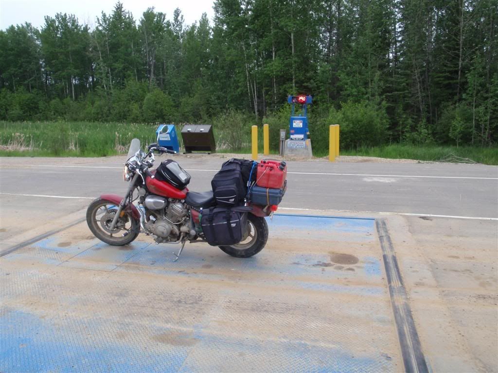
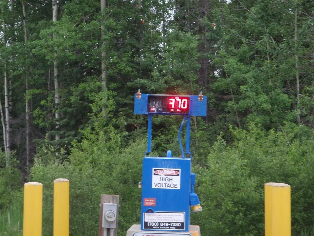
Shit, I need to go on a diet. I weigh backwards-F 70!
Okay people, that's it for this update. I'll try to keep this going for the next few days and get caught up, so expect a flurry of posts.
No comments:
Post a Comment